

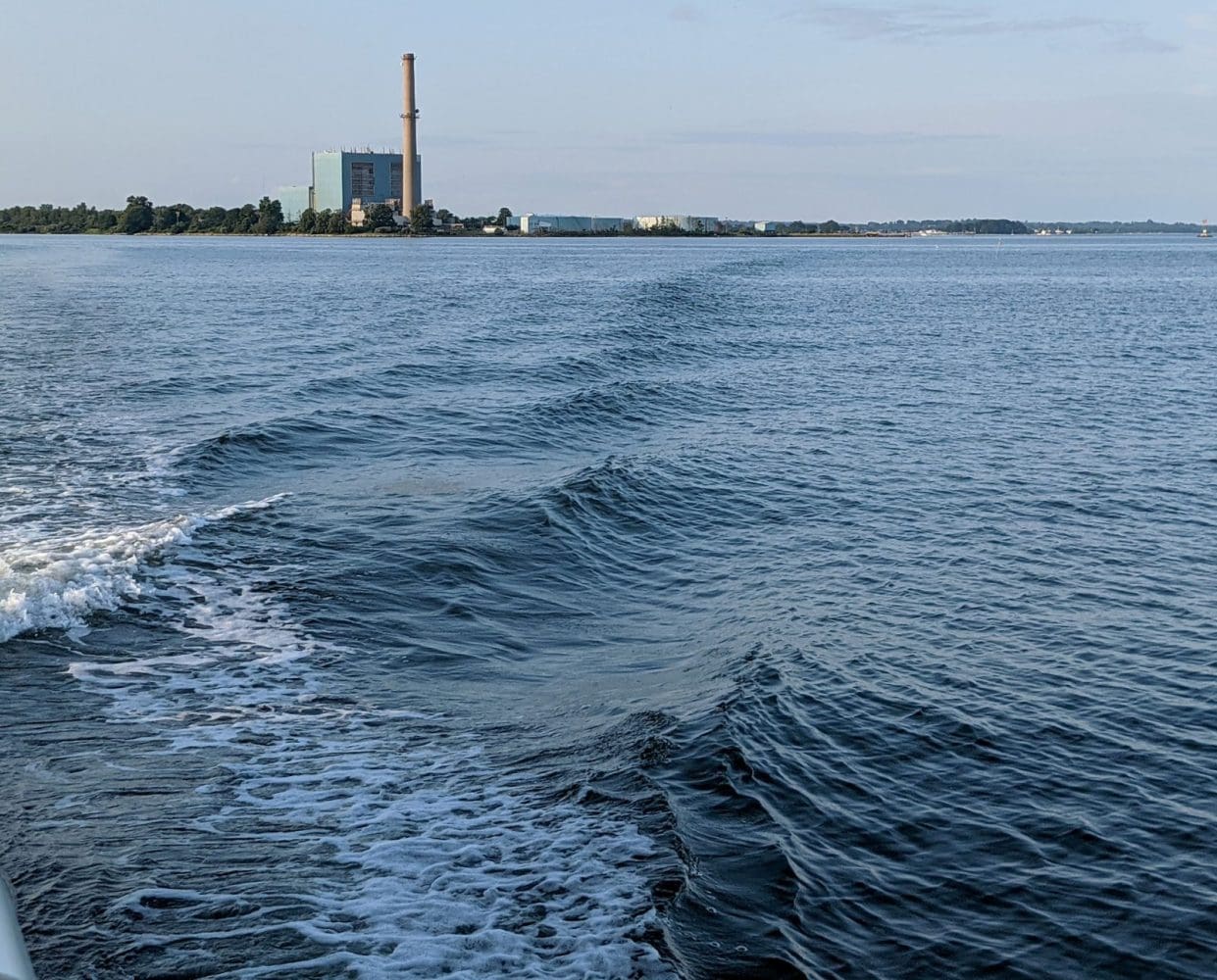
NORWALK, Conn. — A new sensor installed in Norwalk Harbor at Manresa Wilds is giving scientists a closer look at how water levels change across the city — data that could help better understand localized flooding risks.
The monitoring effort is part of R.E.S.A. (the Research & Education Station at Manresa Wilds), an initiative that supports the future park’s broader mission of environmental education and research through a growing network of formal partnerships, including with WHOI, The Maritime Aquarium, Wesleyan University, Sacred Heart University, and Norwalk Public Schools.
Last month, NancyOnNorwalk reported that scientists from the Woods Hole Oceanographic Institution (WHOI), in partnership with Manresa Wilds, installed the sensor to monitor water levels and track tides.
Here’s how the system works, what it measures, and why it matters for Norwalk.
Sensor logistics
Levi Gorrell, a research associate at the WHOI, said the sensors work by using sound. The sensor sends a short sound pulse down to the water, which then bounces back to the device.
“We use the time that it takes for the sound to travel to the water and come back to the sensor — that echo — to tell us how far away the water is from the sensor,” Gorrell said.
Water level data collected from Norwalk Harbor sensor at Manresa Island. Source: Woods Hole Oceanographic Institution via ThingSpeak.
Gorrell said that in addition to the sensor at Manresa Island, there are two others located at Sheffield Island and the Maritime Aquarium.
According to Gorrell, the sensors take multiple measurements at once and calculate an average reading every 10 minutes.
Real-time water level data from Norwalk Harbor sensor (Source: WHOI / ThingSpeak)
Water level data from the Manresa Island sensor in Norwalk Harbor. Source: Woods Hole Oceanographic Institution via ThingSpeak.
The data is then transmitted to the cloud, he said.
Gorrell said the goal is for each sensor to last three to five years with minimal maintenance.
“Our first sensor that we ever put out in Chatham, Massachusetts, is coming up on its two-year anniversary of collecting data, and I have not had to look at it since we deployed it,” Gorrell added.
He said the sensors are powered by an internal battery that is recharged by solar energy.
What’s being measured
Gorrell said researchers are looking to understand how water levels change over short distances — particularly between Long Island Sound and inland waterways.
“What we hope to be able to see over these small scales is what may drive the differences in the water levels as you go from the Long Island Sound up the river,” Gorrell said.
According to Gorrell, the sensors are designed to track monthly tidal cycles, seasonal variation, and storm-driven changes.
Researchers expect to begin analyzing the data later this fall.
Gorell added that hopefully WHOI will be “able to relate what’s happening in the harbor to what’s happening along the coast into other neighborhoods.”
Why it matters
Gorrell said there are only a limited number of traditional tide gauges along the Connecticut coastline and in Long Island Sound.
Because of the distance between those gauges, smaller-scale variations in water levels can go unmeasured.
“There’s big distances between these tide gauges, and what happens in between matters, because that’s what floods your park, or floods your roads, or floods the tidal marshes,” Gorrell said.
By placing sensors directly within Norwalk Harbor and nearby waterways, researchers are able to capture those smaller, neighborhood-level differences in water levels.
That data could help identify which areas are most vulnerable to flooding during high tides and storms, and how water moves through different parts of the city.
Over time, the information may also support local planning decisions, including how the city manages infrastructure, protects coastal areas, and prepares for future sea level rise.
Accessing the data
Jessica Vonashek, executive director of Manresa Wilds, said the data collected by the sensors is available online.
Updates on the project are also shared on Manresa Wilds’ Instagram.
Editor’s note: A sentence has been added to this story to clarify the role of the R.E.S.A. initiative and its partnerships.


Leave a Reply
You must Register or Login to post a comment.